Made to make your work easy
2D/3D Services
With our 2D/3D services we can help you achieve your goals with a blink of an eye. With technology helping, we can provide you with a high resolution of Aerial maps, Photogrammetry, Elevation, Orthomosaics maps, Plant health, 3D maps etc.
Check below for more information
SERVICES
We Offer a wide range of services for 2D/3D Mapping.
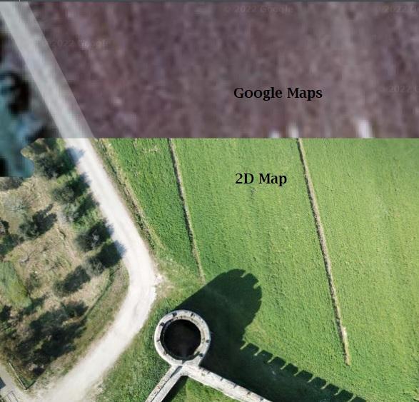
PHOTOGRAMMETRY
Photogrammetry or 2D Maps is the technology of accurately measuring features on or above the earth's surface using aircraft(drone) aerial photo images. The ultimate output is the coordinate (X, Y, and Z) position of a specific point, planimetric feature, or three-dimensional visual depiction of the terrain.
3D Maps
3D mapping technology uses aerial images to aid in profiling objects in three dimensions to map them in the real world, providing the latest technical methods for visualization and information acquisition.
CONSTRUCTION
Create accurate, high-resolution digital replicas of any construction site using 3D models, real-time 2D maps, and 360 virtual tours.
INSPECTIONS
With virtual inspections, you can improve worker safety while also quickly identifying costly issues.
ROOFING
Collect high-resolution roof imagery automatically and generate comprehensive roof reports three times faster than traditional methods.
360 Virtual Walkthrough
Coming Soon