YOUR CART
- No products in the cart.
Subtotal:
0 $
BEST SELLING PRODUCTS
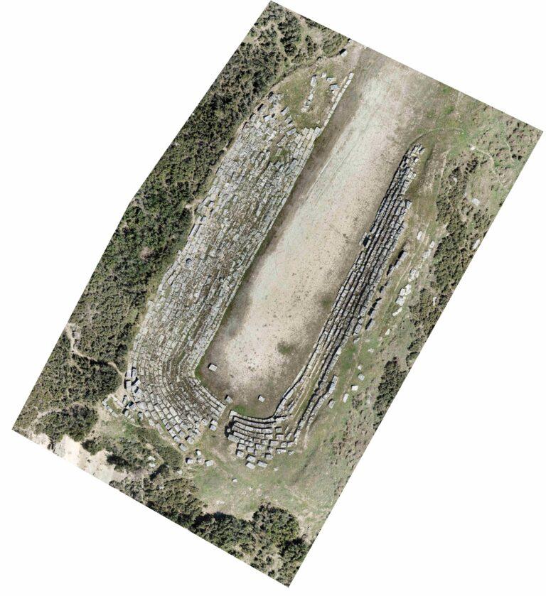
Photogrammetry or 2D Maps is the technology of accurately measuring features on or above the earth’s surface using aircraft(drone) aerial photo images. The ultimate output is the coordinate (X, Y, and Z) position of a specific point, planimetric feature, or three-dimensional visual depiction of the terrain. When large-area mapping is required, photogrammetry has grown into a reliable replacement for ground surveying tasks. It can free survey crews from the most time-consuming and exhausting activities involved in producing topographic maps and Digital Terrain Models (DTMs). Designers can investigate different alignments without needing to collect extra field data because they have more information about existing terrain characteristics.
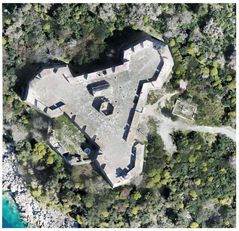
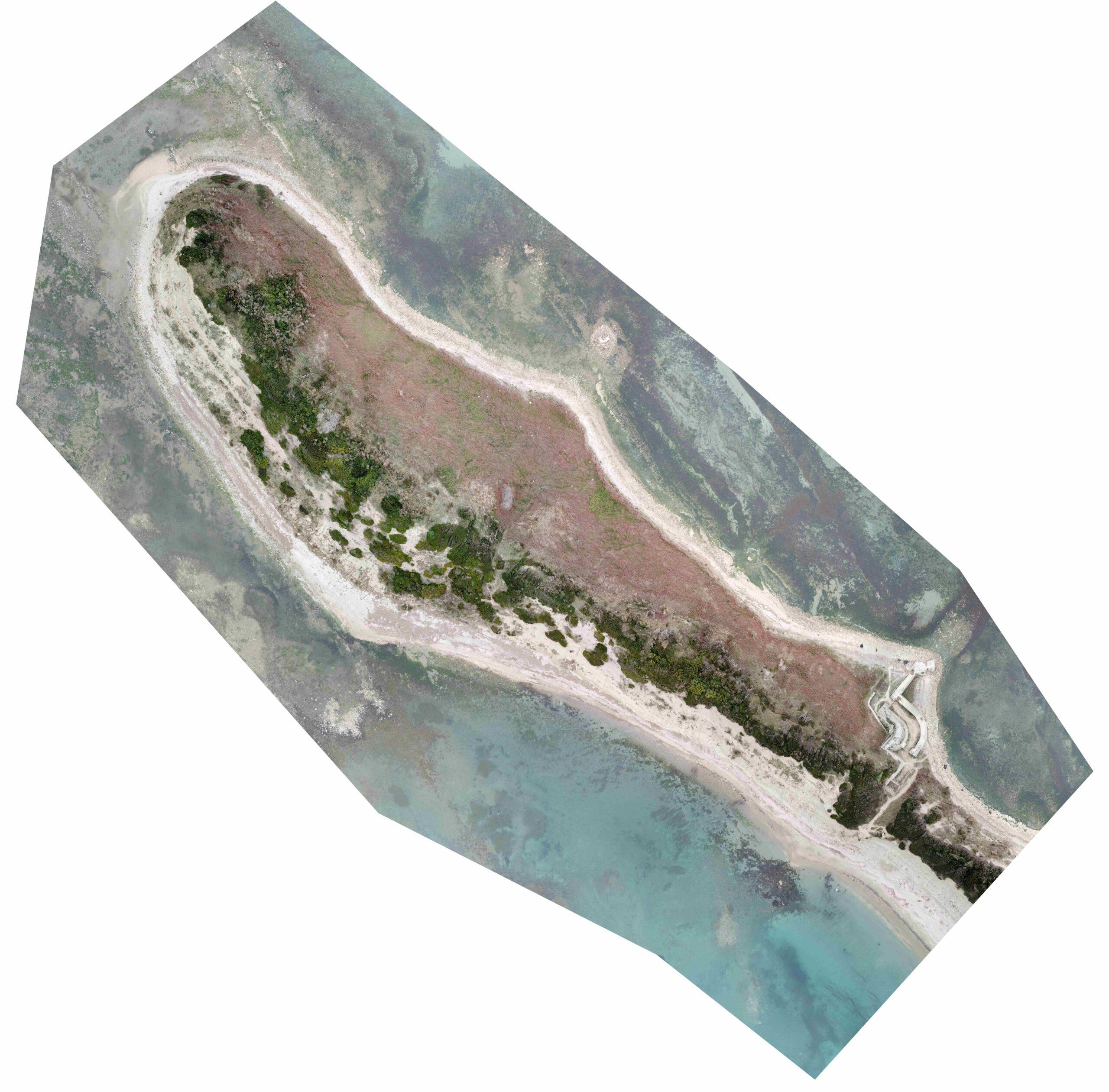
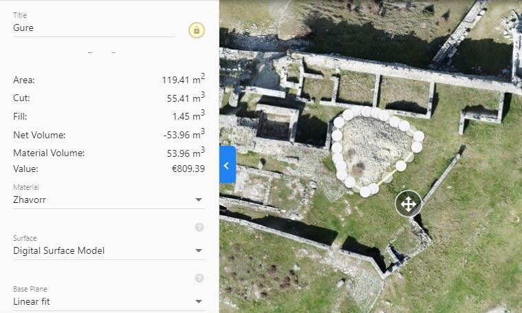
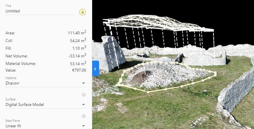
With 2D Mapping you can measure everything you need to complete you work fast. You can measure areas, distances and volumes. If you need to check volume of a stockpile you can have that information just with one click. Elevation and all the measurements above can be exportet as JPEG,PDF,PointClouds etc.
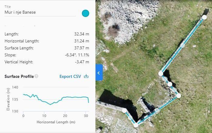

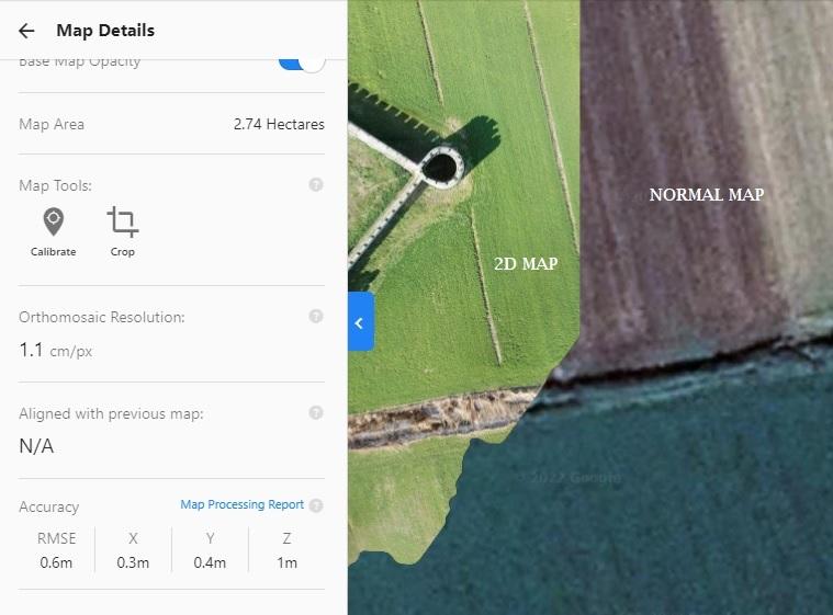
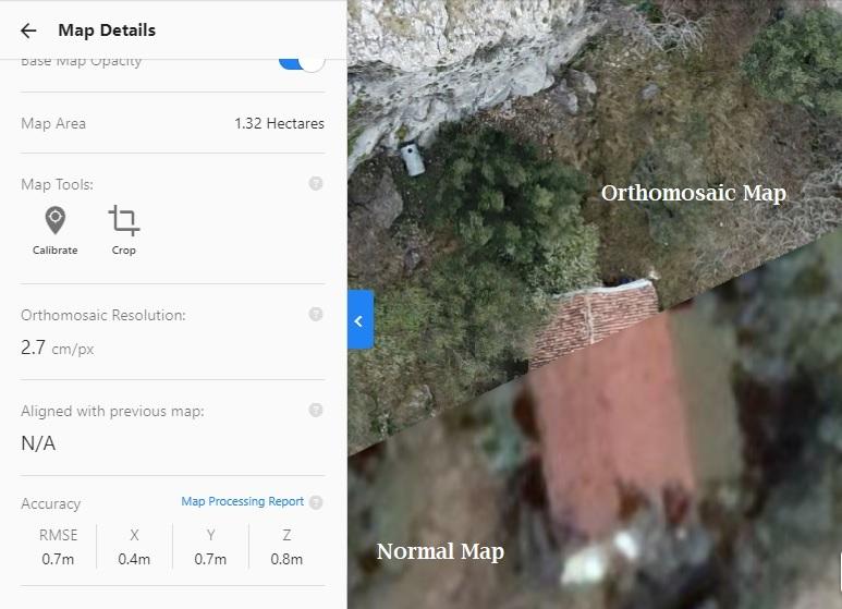
Resolution of the 2D Maps or orthomosaics can be up to 0.5 cm/px. More images means better quality. It takes more time but it will be at High Resolution.
©2023, Arkeo.al SH.P.K. All rights reserved.
You cannot copy content of this page